
Page 3 - Spec Tech Vol 1 Issue 11
P. 3
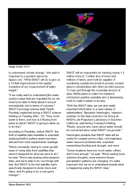
Image Credit: NASA


         to understand climate change," she said in         SWOT will be responsible for tracking nearly 1.3
         response to a question asked by                    million miles (2.1 million km) of rivers and
         Space.com. "What SWOT will do is give us           millions of lakes, and it will be capable of
         a 10-fold improvement in the spatial               monitoring coastal sea levels to provide oceanic
         resolution of our measurement of water             data in corroboration with other on-orbit sources.
         height."                                           To help sort through the incredible amount of
                                                            data, NASA plans to make the mission's
         "If we really want to understand [the water
         cycle] in ways that are important for us, we       information publicly available and is developing
         need to be able to think about it not just         tools to make it easier to access.
         conceptually, but in terms of volumes,"            "With the SWOT data, we can give really
         SWOT hydrology science lead Tamlin                 important information to a wide variety of
         Pavelsky explained during a SWOT science           stakeholders," Benjamin Hamlington, research
         briefing on Tuesday (Dec. 13). "How much           scientist for the Sea Level and Ice Group at
         water is there, and how is it flowing from         NASA's Jet Propulsion Laboratory in Southern
         place to place? SWOT is going to allow us          California, said during Tuesday's briefing.
         to do that."                                       "Really, anyone who cares about water should
                                                            be concerned about what SWOT can provide."
         According to Pavelsky, before SWOT, the
         bulk of satellite data available to scientists     Hamlington predicts that SWOT data will be
         studying Earth's surface water has been            useful for coastal communities, civil engineers,
         derived from other experiments' readings.          water resource professionals, scientists
                                                            researching flooding and drought, and more.
         "We're constantly having to come up with
         ways of using data from satellites that            "Some locations have too much water; others
         weren't designed for what we want to do,"          don't have enough," he said. "We're seeing more
         he said. "We're repurposing other people's         extreme droughts, more extreme floods;
         data, and we're able to do cool things with        precipitation patterns are changing. It's really
         that. But SWOT is the first satellite that's       important that we try to understand exactly what
         specifically designed to study rivers and          is happening using the SWOT data.”
         lakes, and it's going to be a real game
         changer."


         Space Explorer 2022                                                                                                                                                    3